You fly or we fly
RGB mapping of the field is enough to start. Use your drone, or have us capture it.

Agriculture
Fly the crop with the drone you already own. Upload the files. VistaReports writes a branded field report: vigor and scouting zones, forecast-timed recommendations, and files your tractor GPS can load.
Fly early. Upload the stills. The report counts the stand and marks the gaps.
Open the sample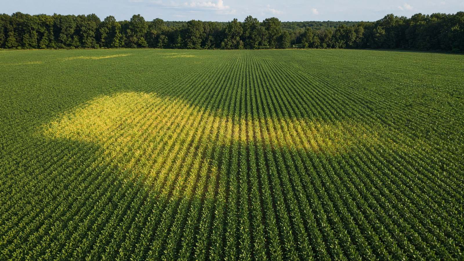
Where the canopy is off. Scout the weak ground. Leave the rest.
Open the sample
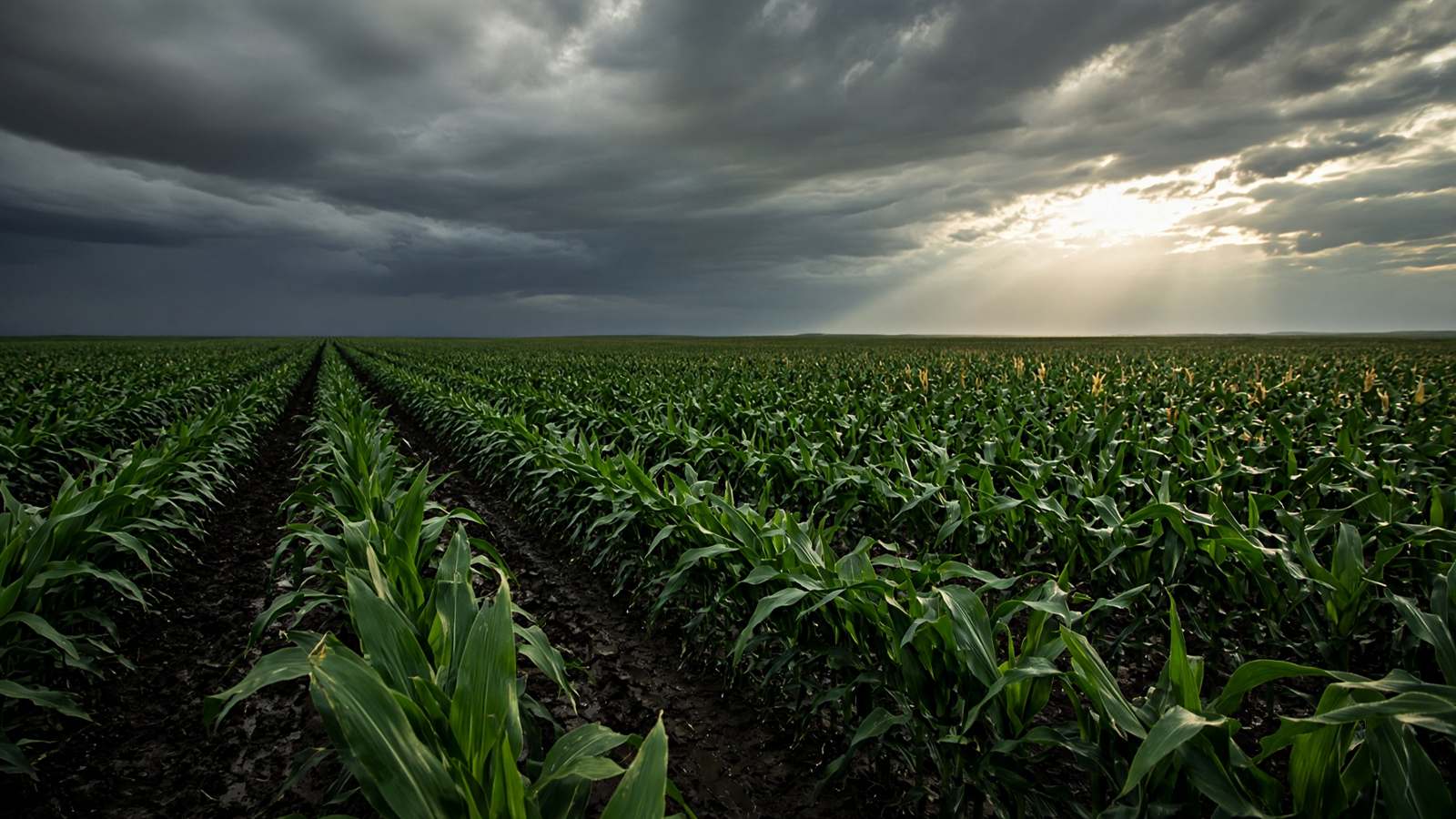
After hail, flood, frost, or wind
Your own dated drone report shows exactly what was damaged and how many acres were hit. Compare it to what the insurance company offers, so you know what you should receive and have proof to start the negotiation.
Independent report only. Not an insurance adjustment, claim decision, or legal advice.
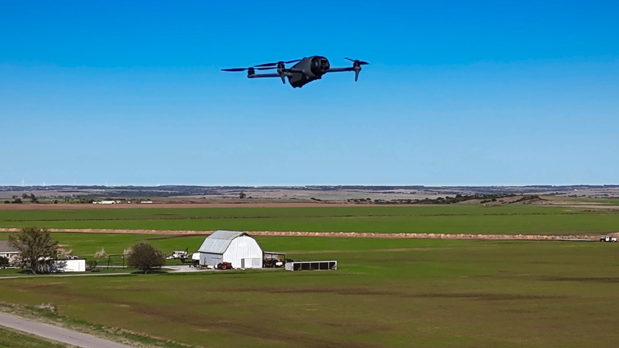
The flight is yours
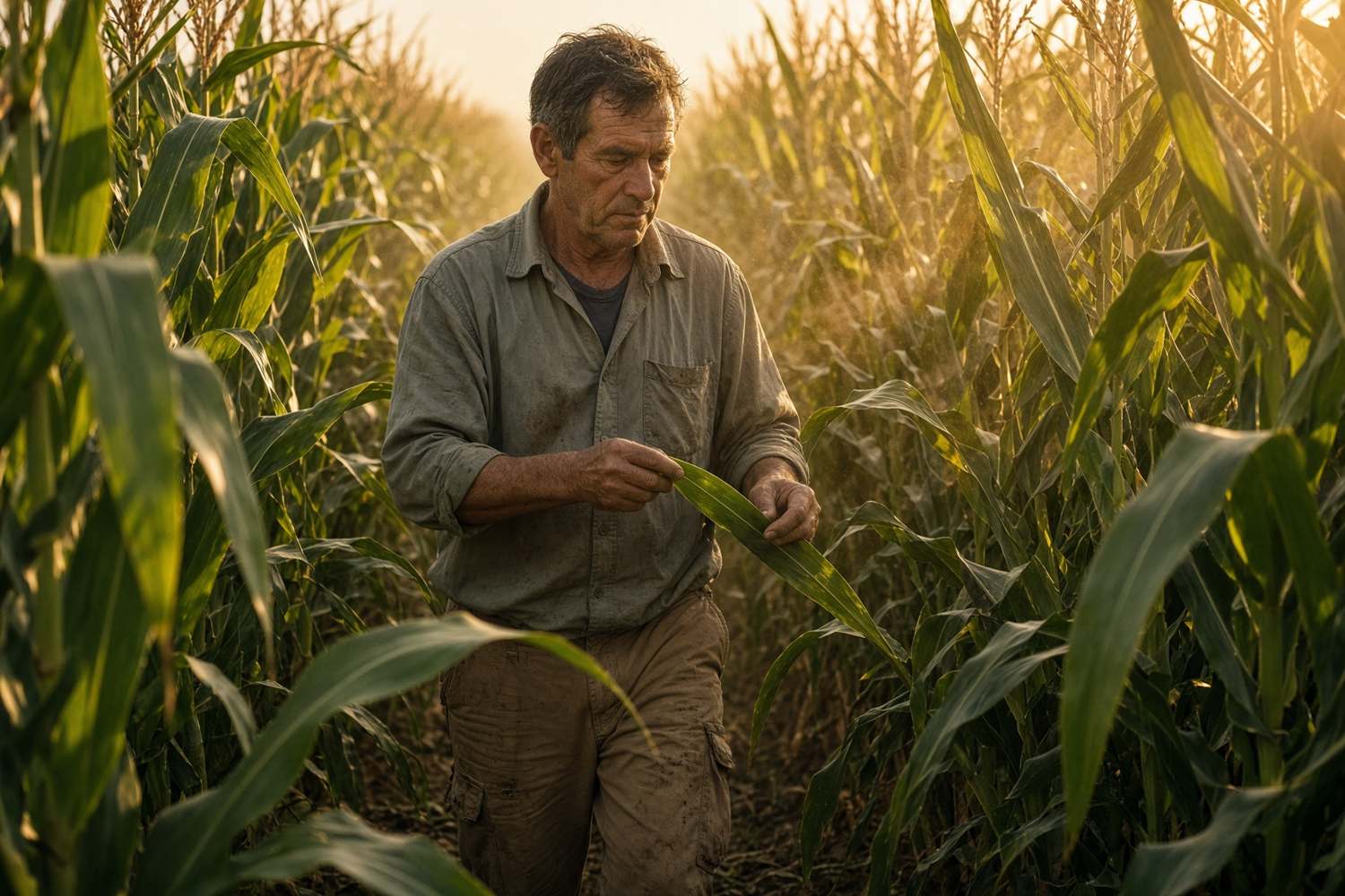
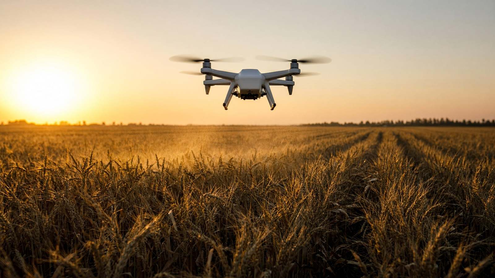
Fly the field with the aircraft you already have. Upload the files. VistaReports writes the branded field report, plus flight plans and tractor GPS files for the acres that need work.
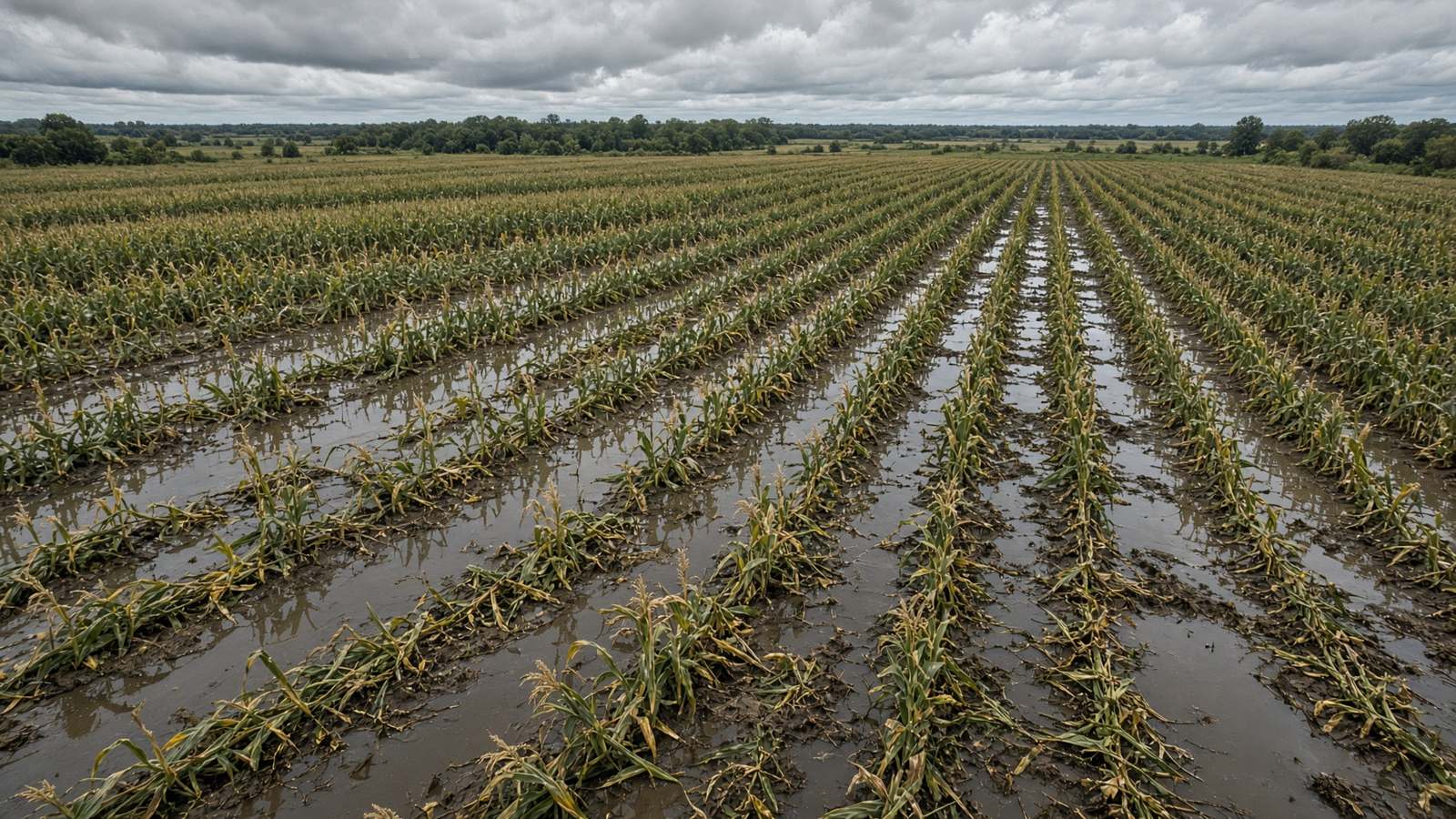
A dated drone report shows what was damaged and how many acres were hit. Use it to compare with an insurance offer and to plan the next pass. Independent documentation only — not an insurance adjustment, claim decision, or legal advice.
RGB mapping of the field is enough to start. Use your drone, or have us capture it.
Send the imagery with the field name, the flight date, and your most recent soil test if you have one.
A dated PDF plus flight plans and tractor GPS files for the zones that need attention.
On the intake form, tell us your drone and auto-steer brand, and upload your latest soil test with the field files when you have one. We will build ready-to-load flight plans and GPS files for your equipment, emailed with your report.
A dated record of every flight, field by field.
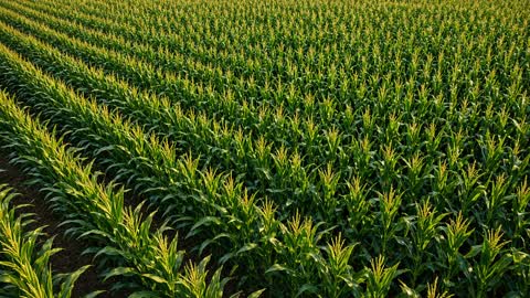
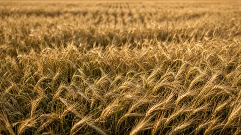
Plain information you can use on the next pass — not a promise of yield or a licensed prescription.
See which parts of the canopy look strong and which look off, so you walk the weak ground first and leave the healthy acres alone.
Each problem area is outlined with its acre count, so scouting time and follow-up work stay sized to the real spot — not the whole field.
One map shows where partial-field work belongs. Treat only the acres that need it and save inputs on the rest.
See low spots and how water moves across the field so wet corners and ponding risk are marked before you put traffic or seed there.
A county-context outlook helps you compare this field to the wider area — useful for planning talks, not a guaranteed bushel number.
Each option includes why it was chosen over the others and a timing window tied to the weather, so work lines up with workable days.
Year-to-date rain and a month-by-month breakdown from the nearest weather station — the kind of record farmers keep for season decisions.
Recent heavy rain, hail, and wind near the field, tied to what the imagery shows — dated notes that help insurance and agronomy conversations.
When we have earlier flights of the same field, we say how it is progressing. The first flight becomes the baseline for the next ones.
Pests and diseases showing up in the wider area, which way pressure is moving, and what to watch for on your ground this week.
Treatment and rework zones packaged for common auto-steer systems so you can load the acres that need work on the display in the cab.
Scout routes and starter rate maps for the controllers we support today — ready for your pilot or sprayer after an agronomist sets real rates.
$3 / acre
$120 minimum. About a 40-acre field. Same price after frost, flood, or hail.
Load the plan and fly the problem zones — no drawing field boundaries by hand. Rates in the files are starters only; you or your agronomist set the product and the real rate before any spray flight.
You get zone files your display can load. The rates in those files are starters only — not a product prescription. You or your agronomist set the product and the real rate.
* Task controller / variable-rate license required on your terminal.
A redacted example with the client name and GPS coordinates removed. County and guidance stay visible.
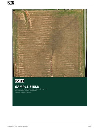
Client name and GPS coordinates removed. Opens as a PDF in a new tab.
View sample field report (PDF)Tell us what you fly and what you drive. We will build flight plans and GPS files that load straight into your equipment. If your brand is marked coming soon, we will confirm before your report is delivered.
VistaReports Agriculture is visual documentation and decision support. It is not a licensed agronomy prescription, not a yield guarantee, and not an insurance adjustment. Notes describe what the imagery and public weather sources show. Verify on the ground and consult a certified crop advisor before applying products. Tractor and drone rate fields are placeholders until an agronomist or the product label sets real rates.